

Imagine crossing an entire country on foot. You start at a Caribbean dock surrounded by canals and mangroves, and two weeks later you dip your feet in the Pacific. In between: Cabécar indigenous territory, rivers crossed by hand-pulled cable car, volcanoes on the horizon, cloud forest above 2,300 meters and the coffee farms of Tarrazú.
That is El Camino de Costa Rica: about 280 km (174 miles) coast to coast, split into 16 stages through rural communities that almost no tourist ever reaches. National Geographic named it one of its 2022 journeys of the year and The New York Times included it in “52 Places to Go in 2024.” In March 2026, TIME named it one of The World’s Greatest Places of 2026, recommending URRITREK as a specialist outfitter to walk it with.
This guide covers everything you need to know: the route stage by stage, how hard it is, when to go, where to sleep, what it costs and how to prepare. It is written by the first hiker to complete the trail, who has now walked it 50 times.

Who wrote this guide
I am Juancho (the bearded guy), guide and founder of URRITREK. In 2018 I became the first person to hike El Camino de Costa Rica end to end. I remember walking into Quepos with tears running down my face, calling my mother to tell her I had made it.
Since then I have walked the full Camino 50 times. I know every climb, every river crossing and every family that will welcome you along the way, and every season the trail and its people still teach me something new. This guide is everything I wish I had known before taking the first step.
El Camino de Costa Rica at a glance
| Fact | Details |
|---|---|
| Official distance | About 280 km (174 miles) coast to coast, including the boat section and access walks to lodging |
| Stages | 16 (the first one split into 1A and 1B) |
| Typical duration | 12 to 16 hiking days |
| Start | Barra de Parismina (independent, by public bus) or Muelle Goshen (with URRITREK), Caribbean coast |
| Finish | Quepos, Pacific coast (KM 280 Official Registration Center) |
| Highest point | About 2,350 m (7,700 ft), El Empalme, Los Santos region |
| Total elevation gain | About 9,460 m adding up every stage (the commonly quoted figure is about 7,250 m) |
| Best season | December to April (dry season) |
| Created by | Mar a Mar Association, officially opened in 2018 |
| Inspired by | The Camino de Santiago (Spain) |
What is El Camino de Costa Rica?
It is a long-distance hiking trail that crosses Costa Rica from the Atlantic to the Pacific. It was created by the Mar a Mar Association, a nonprofit inspired by the Camino de Santiago, with a simple idea: bring tourism to the rural communities that usually get left out.
That is why the Camino does not pass chain hotels or resorts. You sleep in family homes, community lodges and farms, eat what each village cooks, and every dollar you spend stays in the community. It is a way to meet the real Costa Rica, the one that never makes the postcards.


The route: 5 worlds in one journey
- Caribbean lowlands (stages 1 and 2): boat rides through canals, wild beaches, banana and pineapple farms. Intense heat, flat terrain.
- Cabécar territory and the Pacuare River (stages 3 and 4): the wildest, most remote section. You walk with an indigenous guide and cross the river by cable car.
- Turrialba Valley (stages 5 to 7): sugar cane, coffee farms, Lake Angostura and views of the Turrialba and Irazú volcanoes.
- Tapantí and the Orosi Valley (stages 8 to 11): rivers, cloud forest and the toughest climbs on the trail. In Purisil you pass the halfway point.
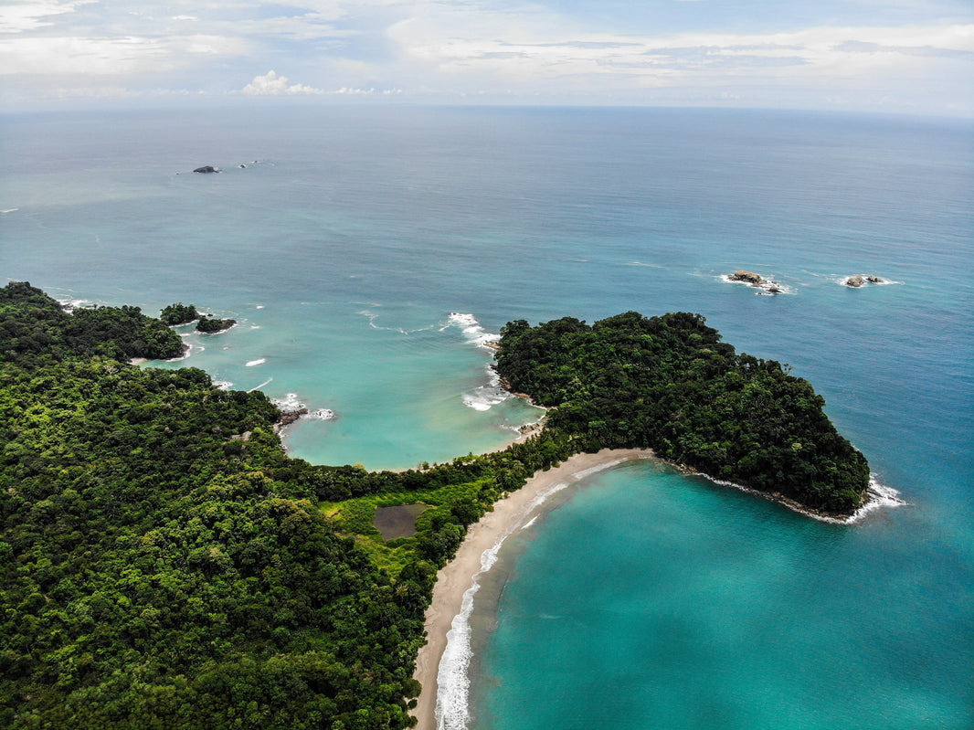
- Los Santos and the descent to the Pacific (stages 12 to 16): the highest point, Tarrazú coffee, your first view of the ocean and the finish in Quepos.

All 16 stages, one by one
Here is the full route based on the Mar a Mar Association’s official stage data. Each stage will soon get its own detailed guide with map, elevation profile, lodging and highlights.
| Stage | Route | Km on foot | Difficulty | Highlights |
|---|---|---|---|---|
| 1A | Barra de Parismina to Muelle Goshen | 5.5 (plus 20 by boat) | Beginner | Caribbean canals and beaches; recommended for solo hikers arriving by public bus |
| 1B | Muelle Goshen to Cimarrones | 23.5 | Intermediate | Flat and hot, through banana and pineapple farms |
| 2 | Cimarrones to Las Brisas de Pacuarito | 14.6 | Intermediate | First big climb toward Cabécar lands |
| 3 | Las Brisas to Tsiobata (Nairi Awari) | 12.5 | Advanced | Cabécar indigenous territory; local guide required |
| 4 | Tsiobata to Tres Equis | 6.2 | Intermediate | Pacuare River crossing by cable car |
| 5 | Tres Equis to Pacayitas | 13.1 | Beginner | Views of Turrialba and Irazú volcanoes |
| 6 | Pacayitas to La Suiza de Turrialba | 12.4 | Intermediate | Rolling hills; full resupply in town |
| 7 | La Suiza to Pejibaye | 18.3 | Intermediate | Lake Angostura, coffee farms, hanging bridge |
| 8 | Pejibaye to Tapantí (Purisil) | 16.0 | Intermediate | Halfway point; gateway to Tapantí National Park |
| 9 | Purisil to Navarro del Muñeco (via Orosi) | 23.2 | Intermediate | Orosi Valley; last big resupply |
| 10 | Navarro del Muñeco to Palo Verde | 9.1 | Advanced | Steep climb and dense forest |
| 11 | Palo Verde to Cerro Alto | 10.0 | Advanced | Primary forest and waterfalls above 2,200 m |
| 12 | Cerro Alto to San Pablo de León Cortés | 18.8 | Intermediate | Highest point (El Empalme) and descent into Los Santos |
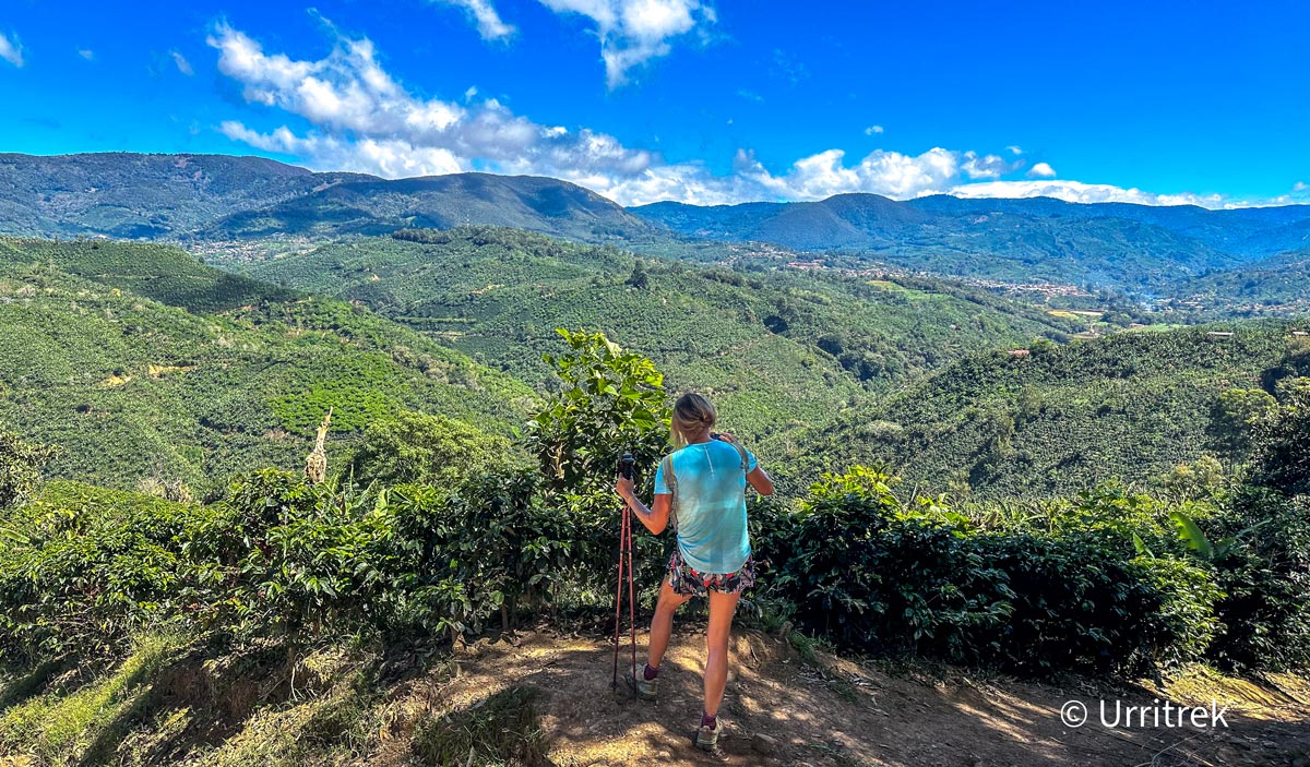
| 13 | San Pablo to Nápoles de Tarrazú | 18.5 | Intermediate | Tarrazú coffee country |
| 14 | Nápoles to Naranjillo | 13.4 | Beginner | First view of the Pacific Ocean |
| 15 | Naranjillo to Esquipulas | 11.4 | Beginner | Cerro Diamante and Aguas de Tarrazú waterfall |
| 16 | Esquipulas to Quepos | 22.4 | Intermediate | Pacific finish and certificate at KM 280 |
| TOTAL | 17 sections (16 stages) | about 249 on foot, 20 by boat | 4 beginner, 10 intermediate, 3 advanced | About 280 km in total, including the boat section and access walks to lodging |
How hard is it?
Let’s be honest: El Camino de Costa Rica is demanding. Not because of altitude (the high point is around 2,350 m) but because of the constant ups and downs: about 9,460 meters of total elevation gain when you add up every stage (the commonly quoted figure is about 7,250 m), with grades up to 25%. Add heat and humidity in the lowlands, mud in the rainy season and rivers to cross.
The good news: 4 of the 17 sections are beginner level and 10 are intermediate. Only 3 are advanced (Cabécar territory and the climbs between Navarro del Muñeco and Cerro Alto). If you can walk 15 km a day with a light pack, with good training you can finish it.
My favorite way to explain it is stage 11, from Palo Verde to Cerro Alto: it is nothing but climbs. I call them “the family”: every hill is a family member. I walk ahead shouting “Here comes Mom!”, “Now it is the aunt!”, “Watch out for the chihuahua!”, all the way up to the biggest, toughest one of all: Grandma. Between the laughs, the climb feels a lot shorter.
When to go: best time to hike
- Dry season (December to April): the best time. Firmer trails, lower rivers and clear skies to see both oceans from the high points. It is also peak season, so book early.
- Green season (May to November): everything is lush, there are fewer hikers and wildlife is very active. Rain usually comes in the afternoon, so you start early and walk dry. September and October are the wettest months.
Note: the Caribbean has its own climate and can get rain any month, even in the dry season. On the Camino you will cross several climate zones, from humid coastal heat to cool mountain air, so pack in layers.
Where to sleep and what to eat
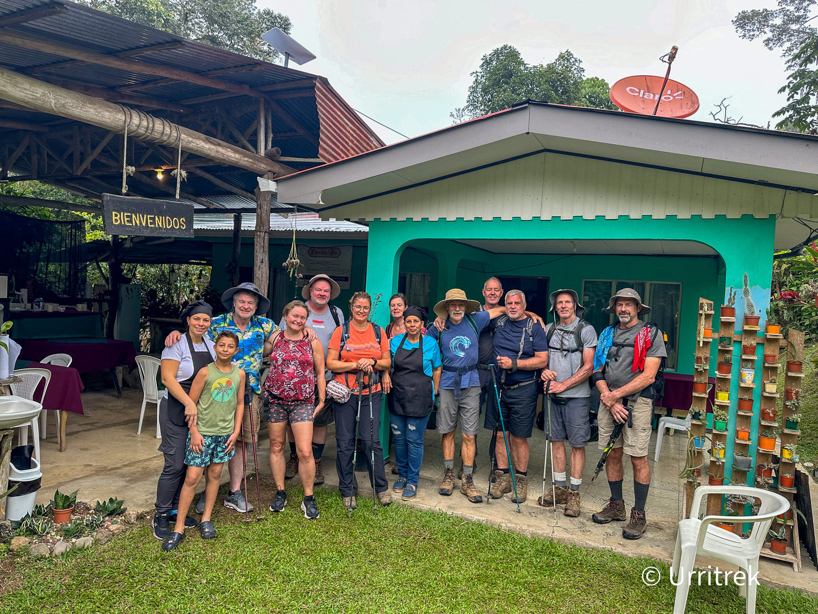
Lodging depends on what each community offers: family homes, community lodges, cabins, farms and campsites in a few spots. Do not expect luxury. Expect Costa Rican hospitality: a clean bed, a shower and a conversation in the kitchen.
Food is part of the journey: gallo pinto for breakfast, a casado for lunch, freshly cut fruit and local coffee. Some sections have nowhere to buy food between villages, so carry snacks and at least 2 liters of water.
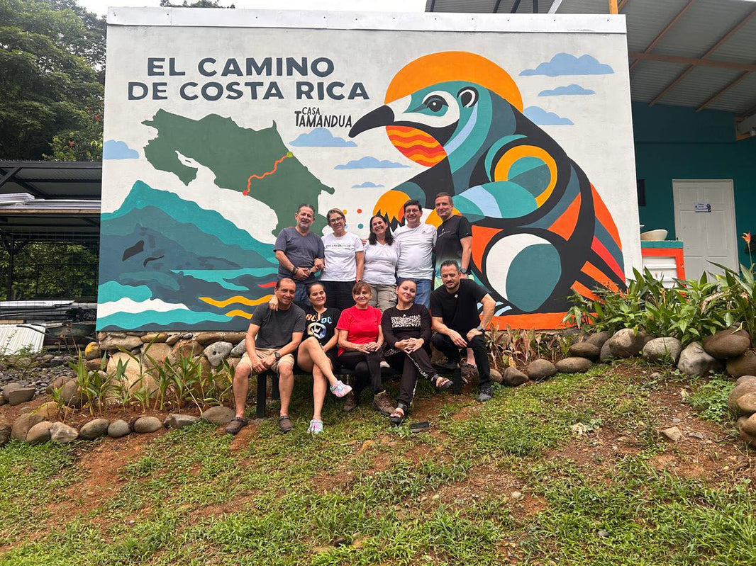
On stage 1B you can stay at Casa Tamandúa (Cimarrones), with bungalows, shared rooms and a camping area.

Solo or guided?
You can walk independently, but some sections require a guide: Cabécar indigenous territory (stage 3) and the Tres Equis ranch (stage 4). Trail marking is also inconsistent and cell coverage drops out in several areas.
If you go solo, you will need some Spanish, the GPS track (for example in the FarOut app), an SOS device, and to book each place to stay by WhatsApp 1 to 2 weeks ahead.
With an outfitter like URRITREK all of that is handled: a guide certified as a Wilderness First Responder (WFR), lodging booked, meals and luggage transfer, so you only carry a daypack. Read: Go Solo or Join a Guided Tour?

How much does it cost?
It depends on how you do it. Independently, you pay for lodging, meals, the boat at the start, required guides and luggage transfer if you want it. For an all-inclusive tour, URRITREK offers four itineraries (price per person, based on a group of 4, taxes included):
- 8 days (Essentials): $2,255
- 11 days: $2,938
- 14 days: $3,187
- 16 days (full Camino): $3,500
Current prices include taxes and are based on a minimum of 4 hikers; groups of 3 or fewer pay a small supplement. A $650 deposit secures your spot, and the balance is paid in installments. All itineraries include guide, lodging, meals and luggage transfer.
What to pack (the essentials)
- Broken-in footwear: hiking boots or trail runners with good grip. Never start the Camino in new shoes.
- Layers: quick-dry shirts, a warm layer for the mountains and a rain shell.
- Protection: sunscreen, a hat and insect repellent.
- Water: capacity for 2 or more liters, plus tablets or a filter.
- Navigation and safety: phone with the GPS track, a power bank and a basic first-aid kit.
- Cash in colones: there are very few ATMs along the route.
See the full list with a downloadable PDF. (link: article #5 “What to pack”)
Passport and official certificate
Like the Camino de Santiago, the Camino has its own passport (₡10,000) that you stamp stage by stage. When you complete the full coast-to-coast walk, you receive your official certificate (₡2,000) at the KM 280 Official Registration Center in downtown Quepos, 600 meters from the Quepos Letters.

Getting to the start and leaving the finish
- Starting independently: if you travel by public bus, start in Barra de Parismina (stage 1A). It is the option we recommend for solo hikers: you get there by public transport and walk the Caribbean canals and beaches before heading inland.
- Starting with URRITREK: we pick you up in San José and take you to Muelle Goshen (stage 1B), with boat transfers included.
- Finish: Quepos has buses to San José and a domestic airport, and Manuel Antonio is 15 to 20 minutes away. A great place to rest your legs for a few days.
Keep reading: guides to plan your Camino
- Weather: 7 climate zones on El Camino de Costa Rica and how to prepare for each
- Training: how to physically prepare for El Camino de Costa Rica
- Water: can you drink tap water in Costa Rica?
- Sun: how to avoid sunburn while hiking in the tropics
- Wildlife: where to see sloths along El Camino
- Landscape: what grows in Costa Rica, from banana farms to coffee plantations
- Finish line: top things to do in Quepos after the trail
Walk the Camino with URRITREK
Nobody knows this trail like we do: our founder was the first to complete it and has walked it 50 times. As TIME put it, “specialist outfitters like Urritrek handle logistics, ferry luggage.” We take care of everything so all you have to do is walk, in 8, 11, 14 and 16-day itineraries with guide, lodging, meals and luggage transfer included.
See tour, dates and itineraries
FAQ
How long is El Camino de Costa Rica?
About 280 km (174 miles) coast to coast, split into 16 stages from the Caribbean (Barra de Parismina) to the Pacific (Quepos).
How many days does it take to hike El Camino de Costa Rica?
Between 12 and 16 days for the full route. You can also hike it in sections, one stage at a time.
Do I need a guide for El Camino de Costa Rica?
Only on two sections: Cabécar territory (stage 3) and the Tres Equis ranch (stage 4). The rest can be hiked independently with a GPS track.
Do I need hiking experience?
You do not need to be a mountaineer, but you do need good fitness. If you can comfortably walk 15 km and train for a few weeks beforehand, you can do El Camino de Costa Rica.
Is there cell coverage on El Camino de Costa Rica?
In the villages, yes. In several mountain sections and in indigenous territory, no. Download the map and carry an SOS device if you are hiking independently.
Are there ATMs along the trail?
Very few. Bring enough cash in colones before you start.
Can I get the certificate if I hike it in sections?
The official certificate is given to walkers who complete the entire Camino coast to coast. If you hike it in sections, collect the stamps for each stage in your passport.
When is the best time to go?
December to April, during the dry season. May to November also works, with more afternoon rain and fewer hikers.